How flash flood warning system works in Nepal: Radar, SMS, and Real Limits
Nepal uses radar gauges and mass SMS alerts to track flood crests. But when high-altitude slopes collapse, technology faces hard physical limits.
Early warning systems give downstream communities time to flee. But when landslide dams or glacial lakes burst, warning lead times collapse to zero.
Short answer: Nepal replaced manual river spotters with radar gauges, satellite telemetry, and automated mass SMS alerts. The system works effectively for seasonal monsoon river crests across southern flatlands. However, when high-altitude rock avalanches or landslide dams burst in steep mountain gorges, flood pulses travel at extreme velocity, outpacing cell networks and sensor feeds.
1. How Nepal evolved from watch towers to telemetry
For decades, flood warnings in the Himalayas depended on informal community lookouts. Village watchmen stood on riverbanks during heavy downpours, blowing horns or calling downstream relatives when water levels rose.
Formalization of modern Flood Early Warning Systems (FEWS) began during the late 1990s to monitor hazardous glacial lakes. By 2002, the government expanded formal monitoring to cover riverine and pluvial basins across the country. Over the past two decades, Nepal transitioned from reactive response to proactive telemetry.
Today, operational forecasting is managed by the Department of Hydrology and Meteorology (DHM) alongside the National Disaster Risk Reduction and Management Authority (NDRRMA). Specialized scientific backing comes from the Centre of Hydrology and Water Resources Research (CHWRR), an agency under the Water and Energy Commission Secretariat (WECS) in Kathmandu.
CHWRR operates national testing laboratories, steep-slope debris flow simulation channels, and river flumes to evaluate how sediment-laden water attacks hydraulic structures. This research feeds directly into forecasting models used across Nepal’s major river basins.
2. The technical architecture of modern flood monitoring
Modern early warning relies on a layered technological pipeline designed to turn physical water measurements into public alerts.
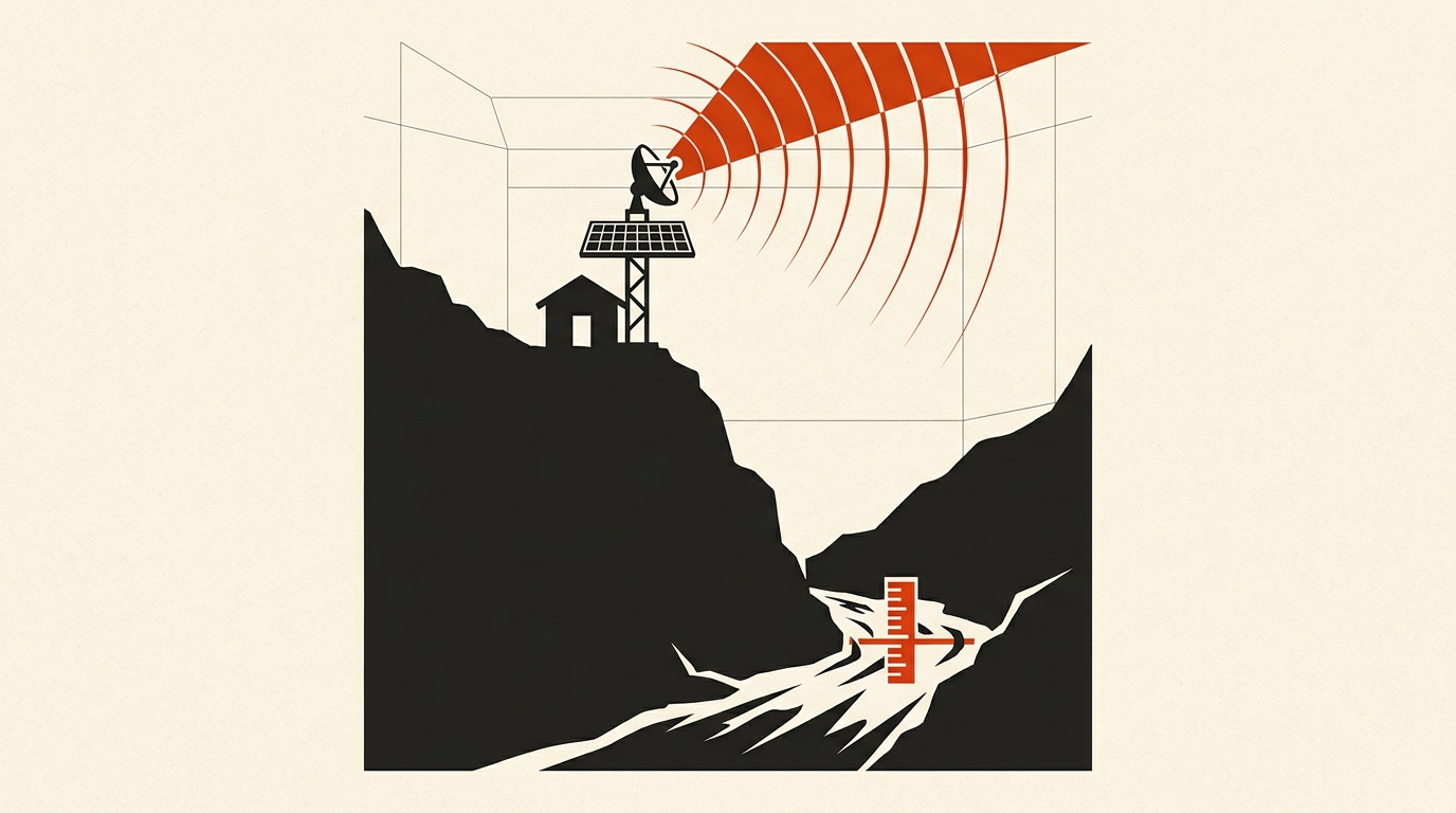
Field stations form the base layer. Solar-powered hydrological stations feature non-contact radar or ultrasonic sensors mounted on bridges and reinforced steel masts over rivers. These sensors measure water levels every few minutes without touching turbulent currents. Paired meteorological stations record rainfall intensity with tipping-bucket rain gauges.
Data transmission occurs through direct telemetry. Stations package readings and transmit them via cellular modems (GSM or CDMA) or satellite uplinks to central DHM servers in Kathmandu. Regional data flows through the HKH Hydrological Cycle Observation System (HKH-HYCOS), developed with the International Centre for Integrated Mountain Development (ICIMOD) and the World Meteorological Organization (WMO). This network integrates regional tools like the South Asia Flash Flood Guidance (SAsia-FFG) system to detect flash flood threats before runoff concentrates in riverbeds.
Public dissemination delivers the output. When river levels cross preset warning or danger thresholds, DHM triggers automated mass SMS broadcasts through national telecom providers. Residents in specific vulnerable downstream districts receive text messages warning them of rising water. In high-risk river corridors, these digital alerts link to community sirens and local disaster response committees.
3. Why mountain debris torrents outrun the digital pipeline
Despite significant upgrades, rapid-onset Himalayan flash floods expose severe technical bottlenecks. Technology that works reliably on broad river basins struggles against steep mountain mechanics.
Lead time remains the most difficult obstacle. On gentle plains, a flood wave takes 12 to 24 hours to travel downstream, giving algorithms plenty of time to verify sensor readings and issue public advisories. In steep Himalayan gorges, landslide dam breaches and glacial lake bursts move downstream at speeds exceeding 10 meters per second.
When a natural dam breaks or an ice avalanche drops into a canyon, communities just five kilometers away have less than 15 minutes to escape. By the time a radar station registers the abnormal spike, automated filters verify the data, and telecom towers queue mass SMS dispatches, the physical water surge may have already struck.
Transmission delays compound this vulnerability. Severe mountain storms frequently knock down power lines and cellular towers. During recent high-altitude disasters, official SMS warnings reached some residents well after they had already evacuated via word-of-mouth.
Finally, standard sensors cannot easily detect an upstream dam formation. When a massive landslide blocks a mountain river, downstream water levels temporarily drop rather than rise. Without high-resolution satellite radar or local human spotters, computer models can misinterpret this sudden drop as diminishing flood risk rather than an impending dam burst. To understand the physical geology behind these landslide blockages, explore our companion report on Nepal landslide dams and transboundary risks to India, as well as our analysis of sensor limits in our Fast Radio Burst data check.
Sources to check yourself
- Government of Nepal BIPAD Portal: Real-time disaster incidents and hydrological sensor tracking.
- ICIMOD HKH-HYCOS Framework: Technical reports on transboundary flood data telemetry in South Asia.
- World Meteorological Organization (WMO): Flash Flood Guidance System global specifications and methodology.
Frequently asked questions
Q: How do automated river gauges measure water levels without getting damaged? A: Modern stations use downward-pointing radar or ultrasonic pulses mounted high above the water on bridges or cantilevered steel towers, avoiding destructive debris.
Q: Why do mobile alerts sometimes arrive late during flash floods? A: Extreme storms can damage transmission towers, and high-altitude mountain surges travel so quickly down steep gorges that the flood wave arrives before text queues process.
Q: What is the role of CHWRR in flood prediction? A: The Centre of Hydrology and Water Resources Research operates physical flume models and cryosphere testing facilities to assess how debris flows and glaciers interact with river systems.
Reader discussion
Conversation for this story opens with memberships. Until then: found an error? Report it — we correct visibly.