Why flash floods increasing in Nepal and how it affects India 2026
A landslide dam breach along the Budhi Gandaki river wrecked 40 homes and 6 bridges. Here is why warming slopes threaten India downstream.
Verdict: misleading.
Primary source: WRI Global Flood Exposure Assessment & NDRRMA Incident Data →
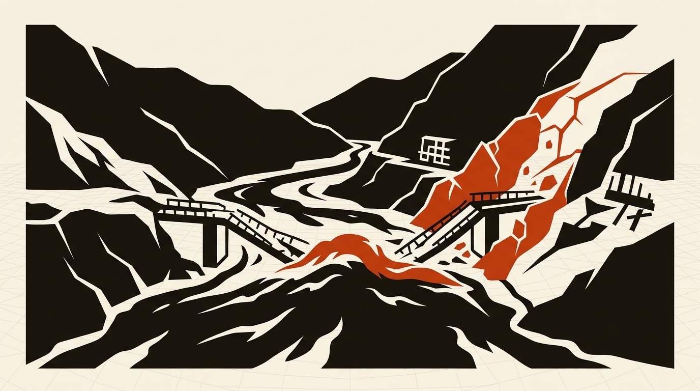
Nepal ranks tenth globally in river flood exposure. A sudden natural dam collapse in the Himalayas sends destructive flood waves straight into the Indian plains.
Short answer: Nepal’s recent disasters are not routine monsoon overflows. On October 11, 2026, a massive landslide plugged the Budhi Gandaki River in Gorkha district, creating a temporary reservoir that breached hours later and demolished 40 homes and six bridges. Warming permafrost and unstable slopes turn mountain rivers into ticking time bombs, with flood waves threatening millions across downstream Bihar and Uttar Pradesh.
1. What happened along the Budhi Gandaki and Bhotekoshi rivers
Mountain terrain creates unique flood risks that flat river basins never encounter. On October 11, 2026, an unstable mountainside gave way in Nepal’s Gorkha district. Millions of tons of rock and soil plunged straight into the Budhi Gandaki River.
The debris blocked the channel entirely, creating an accidental natural reservoir. Water pooled rapidly behind this loose earth dam. Hours later, the hydrostatic pressure overcame the loose rubble barrier.
A high-velocity debris flood ripped through the gorge below. The wave swept away 40 residences, destroyed six bridges, wrecked power lines, and damaged an active hydropower project site. Local authorities reported up to 10 people missing, while over 100 foreign trekkers were stranded across the blocked trail network (The Economic Times, 2026).
This disaster mirrors a catastrophic event six weeks earlier. On August 26, 2026, an ice, rock, and soil collapse high on a mountain ridge near the Nepal-China border triggered a violent surge down the Bhotekoshi River. That incident was not caused by heavy local rainfall. The surge began at high altitude, when frozen bedrock thawed, failed, and dropped directly into the upper basin.
2. Four physical triggers driving mountain flood surges
Nepal sits tenth in global exposure to river flooding (World Resources Institute, 2020). While the southern Terai plains suffer seasonal monsoon inundation from June through September, steep northern slopes face violent, fast-onset surges. Four distinct geological and climatic factors make these disasters far more hazardous than conventional river overflows.
First, landslide-dam breach floods create artificial reservoirs that fail abruptly. Unlike gradual river crests that give communities hours to prepare, a natural rubble dam holds back millions of cubic meters of water until structural failure releases an explosive pulse. Downstream villages receive minimal warning before a wall of muddy water hits their banks.
Second, climate heating is destabilizing high-altitude permafrost. Frozen ground acts like geological cement across Himalayan cliff faces. As regional temperatures climb, this ice binder thaws. Rock faces shear off without warning, tumbling into riverbeds below.
Third, glacial lakes are expanding across higher elevations. Meltwater collects behind loose moraine ridges composed of gravel and ice. When an avalanche or earthquake ruptures a moraine wall, the resulting Glacial Lake Outburst Flood (GLOF) scours river valleys for dozens of kilometers downstream.
Fourth, narrow mountain topography funnels water into high-velocity chutes. Himalayan rivers drop thousands of meters through narrow V-shaped gorges. Any sudden volume increase accelerates rapidly, gathering boulders, mud, and timber. By the time the surge reaches human settlements, it carries enough kinetic energy to tear concrete bridges from their footings. Readers examining data on global hazard rankings can explore our safest country maps footnote for how geographic exposure skews risk models.
3. Why downstream Indian plains face severe transboundary exposure
The hazard does not stop at Nepal’s southern border. India and Nepal share several major river systems that drain the high Himalayas into the Gangetic plains.
The Narayani-Gandak river network provides a direct conduit between the two nations. The Trishuli and Kali Gandaki rivers converge at Devghat in central Nepal to form the Narayani. This river enters Valmikinagar in Bihar, where it becomes known as the Gandak River. A massive flood pulse originating in Nepal’s Gorkha or Annapurna ranges travels downstream into northern Bihar and eastern Uttar Pradesh within a single day.
History shows how quickly transboundary floods escalate. In August 2008, a breach along the Koshi River embankment in Nepal displaced over 70,000 residents locally and inundated over four million people across Bihar. Similar transboundary risks exist along the Bagmati River.
India’s own mountain states (Uttarakhand, Himachal Pradesh, and Sikkim) share this identical geography. The Chamoli disaster of 2021 proved that rock-ice collapses in the Indian Himalayas mirror the mechanisms operating across Nepal. Reducing this regional risk demands automated upstream river gauges, satellite surveillance of blocked valleys, and direct cross-border data pipelines. To see how field sensors and radar gauges actually operate on the ground, read our companion investigation on Nepal flood early warning systems and telemetry limits.
Sources to check yourself
- World Resources Institute (WRI): Data on river flood exposure rankings across 15 high-risk nations.
- The Economic Times: Field reporting and infrastructure damage accounts from the October 2026 Gorkha flood.
- ICIMOD: Scientific assessments of Hindu Kush Himalaya glacial lakes and transboundary river networks.
Frequently asked questions
Q: Did monsoon rain cause the October 2026 Gorkha flood? A: Seasonal rain soaked the hillside, but the immediate flood wave was triggered when a landslide dammed the Budhi Gandaki River and then ruptured.
Q: Can a flash flood in Nepal reach India? A: Yes. Rivers like the Narayani (Gandak) and Koshi flow directly from Nepal into Bihar and Uttar Pradesh, carrying flood pulses downstream.
Q: How can communities spot landslide dams before they burst? A: Authorities use satellite radar imagery and upstream river gauge anomalies to detect sudden drops in water flow, which indicate an active river blockage.
Reader discussion
Conversation for this story opens with memberships. Until then: found an error? Report it — we correct visibly.